Meet Aubrey

Every place has a story. Aubrey tells it in full.

Aubrey is a research engine for local history. Give it any location in the UK and it reads thousands of real records, maps, surveys and archives, then writes the deep, documented history of that exact spot. Grounded in real sources, written in plain English, ready in minutes.

See a real report

A complete Aubrey report for Alkmonton, Derbyshire. No sign-up needed.

Who we are

We believe every place has a story worth telling.

Aubrey Research was built for anyone who has ever stood somewhere and wondered what happened here. The metal detectorist researching a new permission, the local historian digging into their village, the person who just moved into an old house. We bring the deep record of a place together and tell its story properly, from the ground up.

The engine is named after John Aubrey, born in Wiltshire in 1626. He was a British antiquary who spent his life uncovering the country's hidden history, at a time when almost no one was doing it. He surveyed Stonehenge and Avebury, cross-referenced land records, and documented forgotten settlements the length of Britain.

He is regarded as one of the founding fathers of British archaeology and local history. We carry on his work: to find what is hidden, tell the story of a place honestly, and make it available to anyone who wants to know. What took him a lifetime, Aubrey now does for any location, in minutes.

John Aubrey
1626 to 1697

The Aubrey Holes at Stonehenge are named after him. He surveyed the monument in the 1660s and found 56 chalk pits that had been hidden for 4,500 years.

4,000+
years of history in every report
Up to 14
deep-dive sections in every report
13,425
Domesday settlements searched
What a report is

Thousands of years of history, mapped for your location.

Every report opens on a fully interactive map, with everything Aubrey has found plotted where it happened. Click any marker to explore it. Toggle the layers on and off.

Scheduled monuments, sites of national importance, legally protected because what lies beneath cannot be replaced
Roman roads, nearly four centuries of Roman occupation, every known road that passed through your area
Civil War history, the battles, sieges and garrisons of 1642 to 1651, and the militaria still recovered from the soil
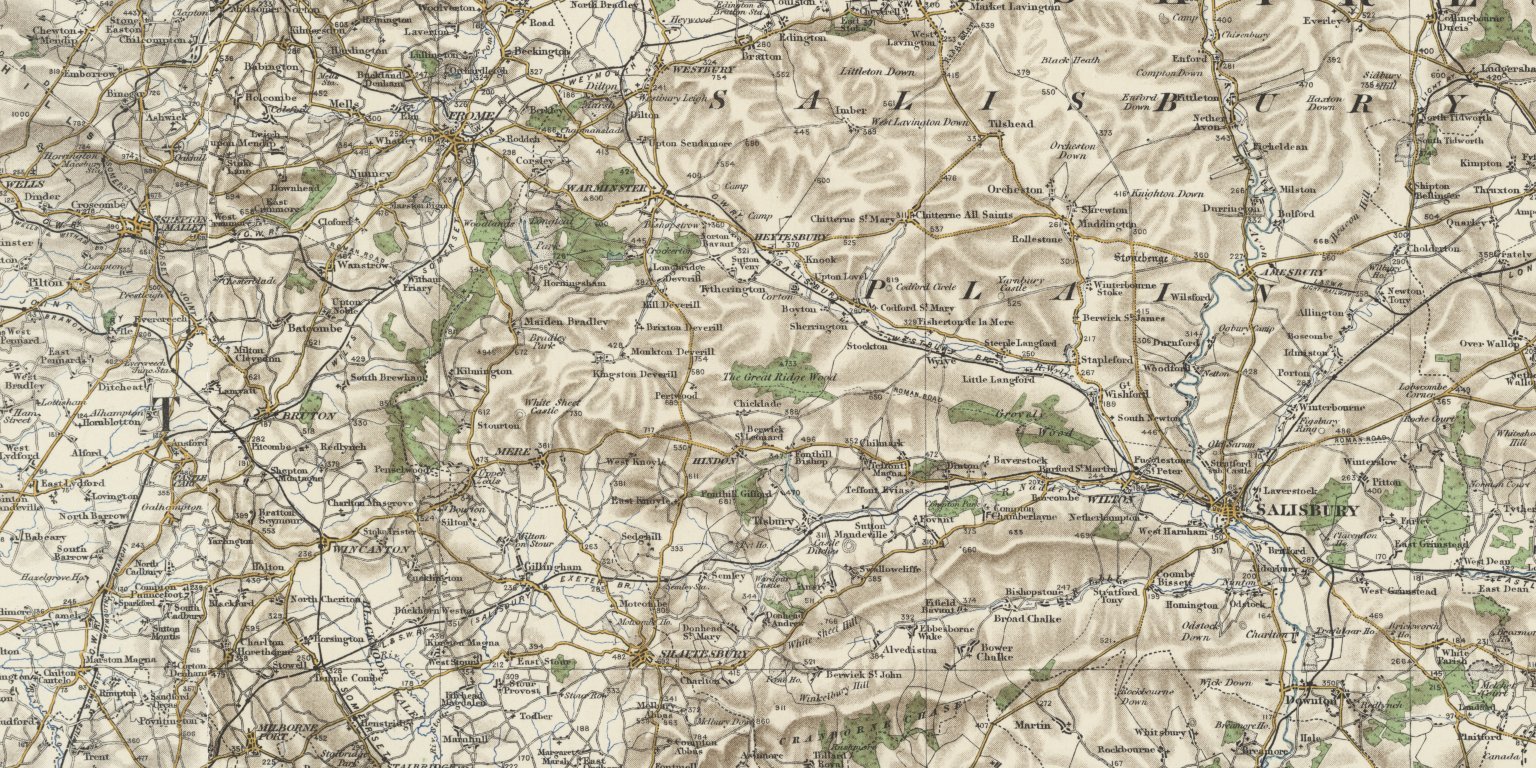
Victorian OS maps, historical Ordnance Survey maps you can blend with the modern landscape to see what has survived

Map shown: a real Aubrey report for a location in Derbyshire.

Spotlight

The remarkable history you never knew was there.

Every report ends with Spotlight, and it is the part people remember. Aubrey reaches into the deep historical record and surfaces the genuinely extraordinary true stories of your place: the forgotten battle, the vanished hamlet, the local who changed the course of things.

Each story is real and fully sourced, so you can follow the trail as far as you like. It is the history of the ground beneath your feet, brought back into the light.

Unlimited access

What a full report reveals, anywhere in the UK

Pick any location and Aubrey pulls together 15 strands of its history, each drawn from the record:

Overview
An interactive map of the location with every monument and battle plotted, and a plain-language history built only from what the record holds.
Monuments
The legally protected scheduled monuments around the location, each with its period, type and significance.
Battlefields
The battles and sieges fought on this ground, mapped and set on a timeline of the wider conflict.
Roman Britain
The Roman roads, forts and towns near here, and the Iron Age people who held the land before Rome arrived.
Domesday
The settlement's entry in the 1086 Domesday Book: who held it, what it was worth, and the people who worked the land.
Civil War
The Civil War fighting, garrisons and recorded militaria in this area, woven into the arc of 1642 to 1651.
Geology
The bedrock beneath the site, its age and rock type, reaching back hundreds of millions of years.
LiDAR
Laser-scanned terrain that reveals earthworks hidden under fields and woodland, with likely features flagged.
Local Names
What the street and field names around here actually mean, and the history buried inside them.
Historical Maps
Ordnance Survey maps from the 1800s, layered over the location as it stands today.
Literature
The books, county histories, charters and archives that mention this place, quoted with their sources.
Legal
The protected sites nearby and the metal-detecting, access and treasure laws that apply to this ground.
Spotlight
A deep dive into the most remarkable, lesser-known history of the place, traced back to the record.
Target Zones
For detectorists: the most promising ground to search nearby, ranked by confidence, with what to expect.
Timeline
The whole story of the location told era by era, from prehistory to the present day.
First month just £4.99, then £9.99 a month. Unlimited locations, cancel anytime.

Every location is different. Not every section appears for every place, only what the historical record actually holds turns up in a report.

Start your first month for £4.99
Or see a real report first
What is inside

Fourteen ways into your location's past.

Beyond the map, every report holds up to fourteen deep-dive sections, each drawing on different records and different centuries. Which appear depends on your nation and what the record holds.

Scheduled Monuments
The nationally protected monuments around you, with their official records and mapped boundaries.
Battlefields
Registered and recorded historic battlefields near the location, plotted and set in context.
Roman Britain
Your area's place in Roman Britain: the nearby roads, settlements, forts and tribal territory.
Domesday
How your location appears in the Domesday survey of 1086, its lords, tenants, people and land values.
Civil War
Battles and sieges of the 1642 to 1651 Civil War near you, and the militaria still recorded around it.
Geology
The bedrock and surface geology beneath the location, and what it meant for the people who lived on it.
LIDAR
Laser terrain analysis that reveals earthworks and old field systems invisible at ground level.
Local Names
Historic field and street names from Victorian maps, read for clues about how the land was used and owned.
Historical Maps
Victorian Ordnance Survey maps you can fade against the modern landscape to see what has changed.
Literature
Academic writing, archive references and historical documents that mention your location.
Legal
The designations that apply, and for detectorists, where permission is needed before you search.
Spotlight
The remarkable, true history of your place that most people never know is there.
Places of Interest
Aubrey's read on the most significant spots in your area, the places worth knowing about.
Timeline
A single chronological story of your location, from prehistory to the present.
Coverage

Every location across the UK.

England, Scotland, Wales and Northern Ireland, urban or rural, famous or forgotten. Each nation keeps its own records, and Aubrey reads the ones that belong to your place.

England

Roman roads, Anglo-Saxon charters, medieval manors, the Domesday survey and Victorian records. England has the deepest coverage of the four nations.

Scotland

Canmore monument records, Highland estate surveys, the Statistical Accounts and prehistoric landscape features, all its own.

Wales

Coflein monument records, the medieval Welsh kingdoms and Roman frontier archaeology, home to some of the UK's most remarkable early sites.

Northern Ireland

Historic Environment Record data, Ulster plantation estates, early Christian sites and prehistoric landscapes.

Discover the history of your place.

Start with a real report, or research your own location in minutes.

Research your locationor see a real report first