Enter any location. Aubrey does the rest.
Type a city, town, county, or ZIP code. Within minutes, Aubrey searches federal and state archives including the National Register of Historic Places, General Land Office patents, Civil War records, Census data, USGS surveys, and more, then writes your report.
Every section is grounded in verified records. No invented history, no filler. Just the documented story of your location, written in plain English, with every significant site plotted on a live map.
Map shown: a real Aubrey report for Shenandoah Valley, Virginia.
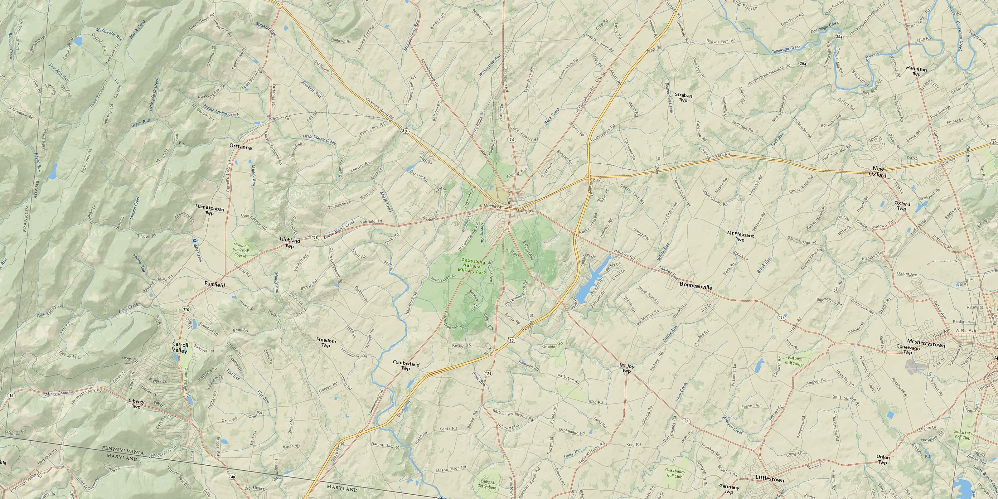
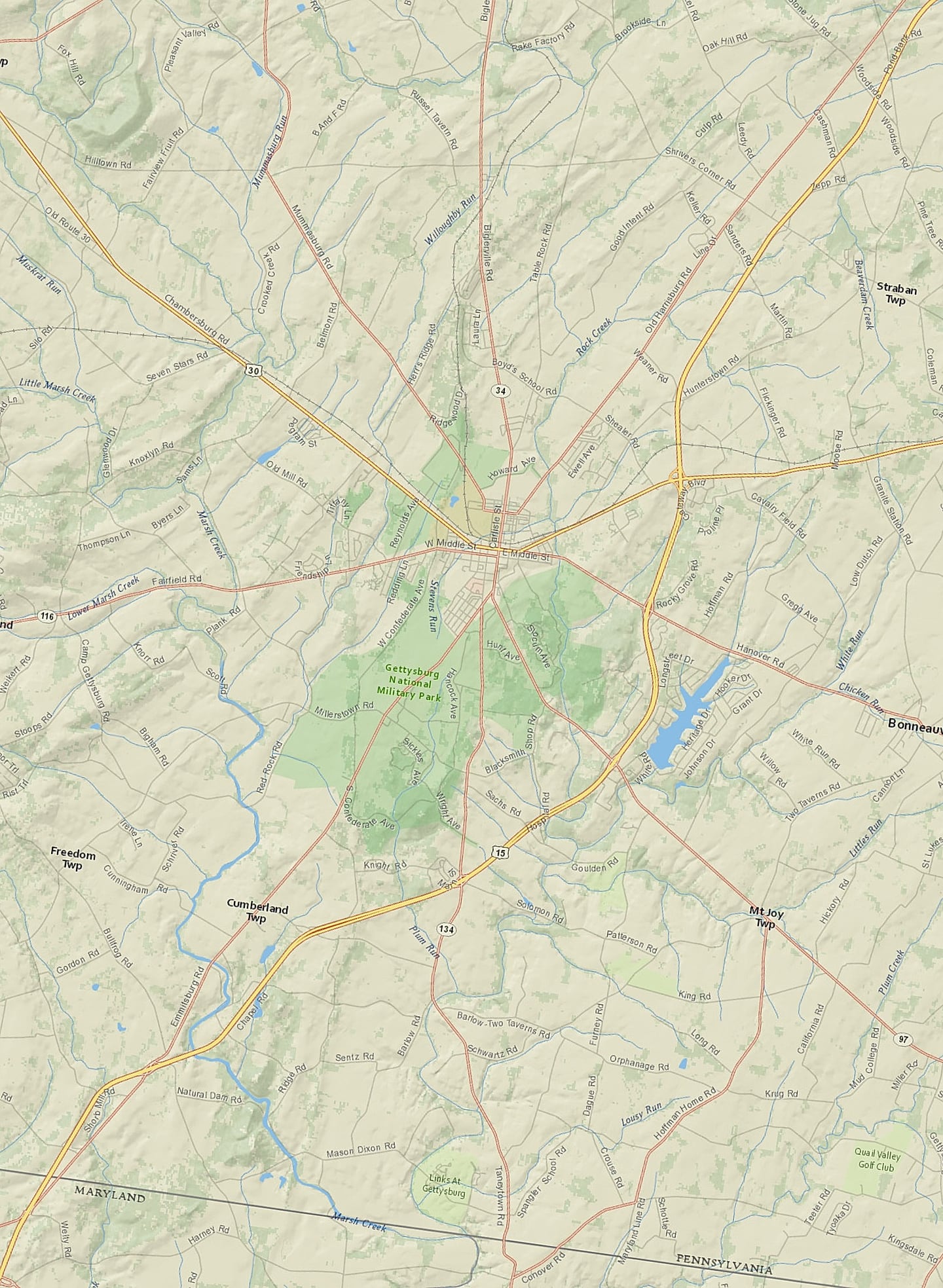
Centuries of American history, mapped for your location.
The moment your report is ready, everything Aubrey has found is plotted on a fully interactive map. Click any marker to explore what was recorded. Toggle between historic sites, Civil War events, Indigenous heritage, and more.
Map shown: a real Aubrey report for Providence, Rhode Island.
Your report stays alive. We keep researching it.
Most research is a one-time thing. You pay once, you get it once, and that's that. Aubrey is different. For as long as you subscribe, we keep digging into the places you care about, and whenever we turn up something genuinely new we add it to your report as a Discovery.
Your location. Discovered by Aubrey.
Plus applicable state sales tax.
Historical society or genealogy group? Ask about group discount codes →
America's history is the best-documented in the world.
The United States has been collecting, digitizing, and indexing its historical records for over two centuries. The National Archives, the Library of Congress, the USGS, the General Land Office. Together they hold hundreds of millions of documents spanning from the first European contacts to the twentieth century.
Aubrey draws on all of it. For any location, in any state.
Most of this history has never been read. Aubrey reads it for your location, in minutes.
Real discoveries from real Aubrey reports. Historic sites uncovered, Civil War stories, forgotten settlements. One email, every two weeks. Free.
No spam. Unsubscribe any time.