About this property
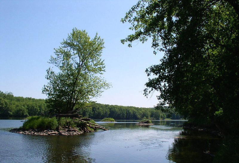
Wild River State Park is a state park of Minnesota, United States, curving along 18 miles (29 km) of the St. Croix River. This long, narrow park is shaped somewhat like a sideways 'S', with development largely concentrated in the lower third. The remote upper sections flank the mouth of a tributary called the Sunrise River. The park is managed to provide quieter, more nature-oriented recreation as a counterpoint to the busier William O'Brien and Interstate State Parks downstream. Wild River State Park is named after the St. Croix's designation as a National Wild and Scenic River. The park contains the Point Douglas to Superior Military Road: Deer Creek Section, a surviving section of the Point Douglas to Superior Military Road built in 1853, which is listed on the National Register of Historic Places.
Location
Categories
Property data from the National Register of Historic Places, National Park Service (public domain).
Description adapted from Wikipedia under the Creative Commons Attribution-ShareAlike 4.0 International License.
Everything a full report reveals about Point Douglas to Superior Military Road: Deer Creek Section
This page lists Point Douglas to Superior Military Road: Deer Creek Section. A full Aubrey report for an address near it pulls together this listing alongside battlefield records, land patents, and every other historical record within a chosen radius:
Every location is different. Not every section appears for every place, only what the historical record actually holds turns up in a report.
Questions about this property
When was Point Douglas to Superior Military Road: Deer Creek Section listed on the National Register?
Point Douglas to Superior Military Road: Deer Creek Section was listed on the National Register of Historic Places on February 7, 1991.
What type of historic resource is Point Douglas to Superior Military Road: Deer Creek Section?
Point Douglas to Superior Military Road: Deer Creek Section is classified as a structure in the National Register of Historic Places.
What is the period of significance for Point Douglas to Superior Military Road: Deer Creek Section?
The period of significance for Point Douglas to Superior Military Road: Deer Creek Section is recorded as the industrial era.
Can I research the history near Point Douglas to Superior Military Road: Deer Creek Section?
Yes. Aubrey Research reports search National Register listings, battlefield records, land patents, and other primary historical sources within any radius of a US address. A report for an address near Point Douglas to Superior Military Road: Deer Creek Section will include this listing and all other historical records in the area.
More in Chisago County
Historic places, battles, and census history across Chisago County.
Explore ChisagoCounty ›More historic places in Minnesota
Browse all historic places in Minnesota.
View Minnesotahistoric sites ›Minnesota history
Colonial settlement, territorial period, and statehood narrative.
Minnesotahistory ›Research the history near this site
An Aubrey US report for an address near Point Douglas to Superior Military Road: Deer Creek Section will include this listing alongside battlefield records and other historical sources within your chosen radius.