About this property
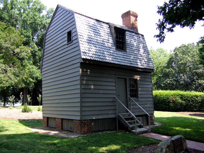
Mordecai Place Historic District () is a historic neighborhood and national historic district located at Raleigh, North Carolina. The district encompasses 182 contributing buildings and 1 contributing object in the most architecturally varied of Raleigh's early-20th century suburbs for the white middle-class. Mordecai Place was listed on the National Register of Historic Places in February 1998, with a boundary increase in 2000.
Location
Federal Designation
The National Register of Historic Places, administered by the National Park Service, is the United States federal government's official list of districts, sites, buildings, structures, and objects deemed worthy of preservation for their historical, architectural, archaeological, engineering, or cultural significance. Listing on the National Register recognizes a property's importance to American history but does not place restrictions on private owners; it does, however, make properties eligible for federal historic preservation tax incentives and enables consideration in federal planning decisions. This property is recorded in the National Register under reference number 00001570. It was listed on December 28, 2000.
Categories
Property data from the National Register of Historic Places, National Park Service (public domain).
Description adapted from Wikipedia under the Creative Commons Attribution-ShareAlike 4.0 International License.
Nearby Historic Sites
Questions about this property
When was Mordecai Place Historic District (Boundary Increase) listed on the National Register?
Mordecai Place Historic District (Boundary Increase) was listed on the National Register of Historic Places on December 28, 2000.
What type of historic resource is Mordecai Place Historic District (Boundary Increase)?
Mordecai Place Historic District (Boundary Increase) is classified as a building in the National Register of Historic Places.
What is the period of significance for Mordecai Place Historic District (Boundary Increase)?
The period of significance for Mordecai Place Historic District (Boundary Increase) is recorded as the civil_war era.
Can I research the history near Mordecai Place Historic District (Boundary Increase)?
Yes. Aubrey Research reports search National Register listings, battlefield records, land patents, and other primary historical sources within any radius of a US address. A report for an address near Mordecai Place Historic District (Boundary Increase) will include this listing and all other historical records in the area.
More historic places in North Carolina
Browse all historic places in North Carolina.
View North Carolinahistoric sites ›North Carolina history
Colonial settlement, territorial period, and statehood narrative.
North Carolinahistory ›Research the history near this site
An Aubrey US report for an address near Mordecai Place Historic District (Boundary Increase) will include this listing alongside battlefield records and other historical sources within your chosen radius.